Spatial Intelligence
Turning Complex Maps Into Actionable Data
Building geospatial technology for complex NGO workflows.
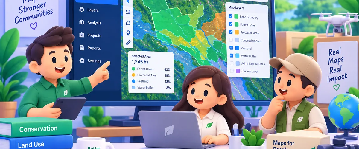
NGOs working across agriculture, sustainability, conservation and land management often deal with enormous amounts of spatial information — land boundaries, regulatory zones, environmental datasets, administrative areas and other geographic layers. We built a custom mapping platform that brings these different datasets together into one interactive system, allowing teams to visualize, analyze and process complex geographic information without jumping between disconnected maps, spreadsheets and GIS files.
The Problem
Geospatial projects can quickly become complicated. Teams may need to combine land boundaries with multiple external datasets, determine where areas intersect, identify potential issues and turn the results into information that can actually support field operations, assessments, reporting or certification programs. When this process relies on separate GIS files, spreadsheets and manual analysis, even relatively simple questions can require significant technical work. The challenge wasn’t simply displaying a map — it was turning a complex mapping process into a workflow that people could actually use.
What We Built
How It Works
Users can define or import an area of interest and immediately view it against multiple relevant geographic datasets. Behind the interface, the system processes spatial relationships between those datasets — identifying intersections, boundaries and other conditions relevant to the organization’s workflow. Instead of manually comparing multiple maps and datasets, teams can access the information they need through a single visual workflow. The platform transforms complex GIS operations into something accessible to both technical and non-technical teams.
Impact
Complex geospatial analysis. Made usable.
Technology
Services used



Got an app, website or game in mind?
Tell us what you're building. We'll shape the right team and the right solution around your goals.
Start a project